Property owners are being urged to voice any concerns on mapping of flood overlays at a public meeting in Warragul on Tuesday, August 23.
At a recent council meeting, councillors heard from a small percentage of concerned residents and raised concerns of outdated mapping, before voting to hold a public meeting and re-open public submissions.
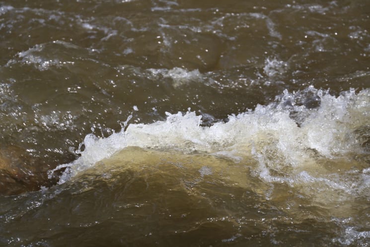
Cr Danny Goss warned that 3700 property owners across the shire needed to know the ramifications of land being identified as vulnerable to flooding.
This public meeting, held at the West Gippsland Arts Centre's Fountain Room from 5.30pm to 7pm, provides residents the opportunity to ask questions, seek clarifications and express any concerns. Shire officers and representatives of West Gippsland Catchment Management Authority and Melbourne Water will be in attendance.
Amendment C144 - Baw Baw Flood Mapping Update proposes to amend the maps for the Floodway Overlay (FO) and Land Subject to Inundation Overlay (LSIO), both of which are designed to ensure flood risk and community safety in flood prone areas is appropriately managed. The proposed amendment will update the FO and LSIO maps to reflect the existing flood modelling information already held by the West Gippsland Catchment Management Authority and Melbourne Water.
The exhibition and submission period for the proposed amendment has been extended until Thursday, September 1.
"It is necessary to undertake further consultation on this amendment to ensure there is an accurate understanding of the flood mapping changes and how they may impact our residents," deputy mayor Annemarie McCabe said. "We're providing our residents the opportunity to attend an information session where they can speak first-hand on their concerns, ask questions and seek clarification about the amendment."
Cr Goss believes the public meeting will see a lot more residents providing face-to-face feedback.
"Impacted residents need to know the full ramifications of this amendment, and it's a big deal in my opinion," Cr Goss said.
Cr Joe Gauci urged, "if you've got a concern, come and voice it".
"We need to have an educated and upfront conversation on the accuracies of the mapping and if you have proof that it is wrong, we need you to come forward and let us know at the open consultation session," Cr Gauci said.
The shire encourages all interested residents to register their attendance for the public meeting and submit any questions at eventbrite.com.au/e/amendment-c144-baw-baw-flood-mapping-update-consultation-session-tickets-395629136397.
Residents are also invited to view the proposed changes and make submissions in writing by Thursday, September 1 at 5pm.
Written submissions can be sent via email to strategic.planning@bawbawshire.vic.gov.au or by post to Baw Baw Shire Council, PO Box 304, Warragul VIC 3820.
All submissions already received to the amendment during the initial eight-week exhibition period from March 10 to May 6 will be acknowledged and recognised as part of the amendment process.